AGROMAP + CROPMAP
Servicios


Simultaneous soil mapping (EMC) and vertical canopy vigor (Normalized Difference Vegetation Index: NDVI).
Along with Electro Magnetic Conductivity (EMC) soil maps, given by our BASIC AGROMAP service, we offer the option of a vertical canopy plant vigor variability map, obtained individually or at the same time with the EMC maps, getting very high quality data on reflectance.
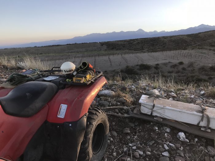
Data compilation is obtained with the exclusive own light active sensor “Crop Circle”. Measurements are georeferenced with a DGPS system (sub metrical accuracy). Sensors are hauled by an ATV, and the light reflectance of the vertical canopy is captured in Red and Near Infrared bands obtaining approximately 3000 to 1000 readings per hectare or more depending on their distance.
With this information, vegetation rate indexes like NDVI, SAVI, PCD, RVI, GDVI, SRI, ISRI, that use both spectral bands, are developed. NDVI, without doubt, it is most used in agriculture as to detect vigor differences caused by pests, diseases, soil, irrigation, weather, etc. We use NDVI in our maps.


